Four New Signs on Lawrence Hopewell Trail Add to the “Outdoor History Museum”
HISTORY AT ITS HEART: The 17 informational markers along the 20-mile Lawrence Hopewell Trail help tell the story of Mercer County. Four new markers — two in Lawrence, two in Hopewell — were recently added.
By Anne Levin
Whenever the members of the Lawrence Hopewell Trail Corporation’s (LHTC) Saturday Morning Walking Club come upon one of the informational markers placed in key spots along the way, the walk halts for a moment as participants stop to take in the history of the area they are passing.
“The signs are important. People love them,” said David Sandahl, chair of the LHTC’s board of trustees. “They always want to stop and read them, and find out what happened there in the past.”
With four more signs, created by Trenton-based Hunter Research, recently added to the 20-mile trail, the tally is up to 17. More are anticipated for next year.
“The nonprofit Lawrence Hopewell Trail Corporation, which works with landowners to build and maintain the trail, began the project of installing historical markers along the trail in 2021,” reads a release from the organization. “The signs, funded largely through a generous donor and developed with Hunter Research, describe everything from notable events to historic structures to geological formations. As a result, the trail, already popular with walkers, runners, cyclists, and birdwatchers, has also become an outdoor history museum.”
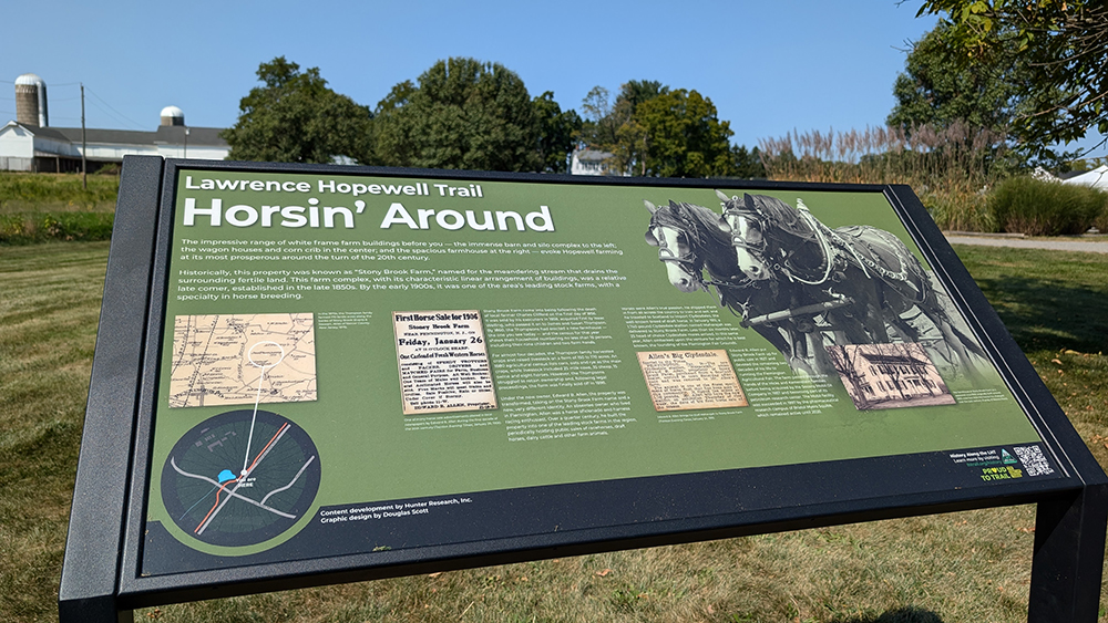
Two of the new signs in the “History Along the LHT” project have been installed along Pennington Rocky Hill Road, and discuss the history of farming in Hopewell Township. Another, along Province Line Road, focuses on the history of the King’s Highway, known today as Route 206. The fourth, on the trail at Educational Testing Service (ETS), explains the history of ETS and the development of its corporate campus.
Coming in 2025 are six more signs, including several on the planned Maidenhead Meadows boardwalk in Lawrence Township. The trail is nearing completion, as progress is being made on the five unbuilt segments. The goal is to have the loop finished in 2026.
Sandahl credits Hunter Research for coming up with the imaginative historical markers. “They are content experts, and they know the history very well,” he said. “The signs are inviting and easy to read. It’s very interesting to read about what happened right where you are standing.”
First conceived in 2001, the trail passes through preserved open space and farmland, fields, and the corporate headquarters of Bristol Myers Squibb and ETS. Sites of additional historical markers include Mercer Meadows, Mount Rose Ridge, Province Line, the Johnson Trolley Line, Brearley Oak, the Stony Brook Mill and the Pole Farm, which was the site of a large shortwave radio station used for AT&T’s international telephone communications that connected with cities in Europe, the Middle East, and Latin America.
“Most people don’t know that all trans-Atlantic phone conversations used to go through the Pole Farm, right here in Mercer County,” said Sandahl. “When they walk or ride along the trail, they learn things like that.”
More than 500 people took part in the LHTC’s Full Moon Bike Ride last weekend, up from just under 400 the year before.
“Our trail is full of the history of Mercer County,” said Sandahl. “We’ve been busy.”


